Citizen science used to track mosquitoes
Hungarian researchers have demonstrated in a new Journal of Applied Ecology paper that citizen science data collected by the public can be used to track the distribution of mosquitoes in the country.
Citizen science, also known as community science, is any activity that involves the public conducting scientific research. Citizen science holds the potential to impact society in a variety of ways. For example, bringing together scientists, policy makers and the general public, as well as enabling researchers to collect large amounts of data efficiently.
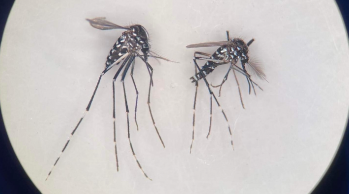
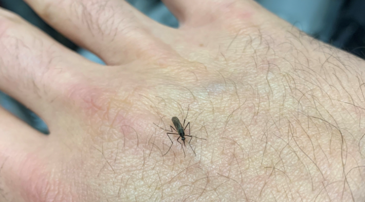
For the fifth year in a row, Hungarian researchers asked the public to help map mosquito distribution across the country. The Mosquito Surveillance Hungary program utilises a citizen science approach, with mosquito reports coming from a variety of areas, with the purpose of allowing researchers to paint an increasingly accurate picture of the presence of invasive species in Hungary.
Researchers examined whether the data they obtained reflects the true distribution pattern of the investigated mosquito species. The spatio-temporal patterns of mosquitoes (where and when they’re found) generated from the reports of citizens (based on the presence/prevalence data of individual species) were compared with field monitoring data collected by researchers. The conclusion determined that the maps based on the reports corresponded well with the results of direct field sampling using traditional trapping protocols.
These results suggest that data collected from citizen science can contribute to biologically meaningful conclusions regarding invasive mosquito distribution in any country. However, this depends on the reporting intensity of citizens being appropriate. For example, the number of reports must reach a species-specific threshold.
The distribution maps of invasive species can be used for identifying ecological predictors that determine such spatial patterns. Alongside this, they are also used for developing mosquito control programs and assessing epidemiological risk.
This article is based off of a Mosquito Surveillance Hungary press release.
Read more here:
https://besjournals.onlinelibrary.wiley.com/doi/10.1111/1365-2664.14417
Like what we stand for?
Support our mission and help develop the next generation of ecologists by donating to the British Ecological Society.